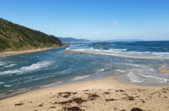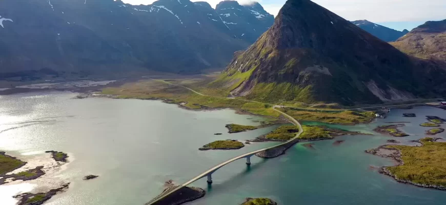
A bay is a part of an ocean, sea, or lake that goes deep into the land but has a free water exchange with the main body of the water body. Gulfs are less separated from oceans than seas, and their outer boundary is conditional.
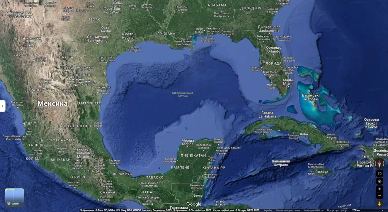
The largest bays of the World Ocean include: Bay of Bengal, Bay of Mexico, Bay of Guinea, Great Australian and Bay of Biscay.
The most important bays of the world’s oceans:
- Pacific Ocean – Panama, Alaska, California, Cook (Kenai).
- In the Atlantic Ocean – Guinea, St. Lawrence, Mexican, Biscay, Hudson, Gulf of Mexico, Gulf of Bothnia, Mexican, and Fundy;
- In the Indian Ocean – Bengal, Great Australian, Aden, Geographical;
- in the Arctic Ocean – Hudson Bay, Gulf of Ob, Amundsen.
- In the Southern Ocean – Nikolai Zubov, Miklouho-Maclay, Paulding, Porpess, Wrigley Bays.

The large oceanic bays (Biscay, Guinea, Bengal, Alaska, etc.) are essentially marginal seas and are called bays only by tradition.
Features of the shape and size of bays
Smaller bays are called bays. The main difference between a bay and a bay is their size. In general, a bay is much larger than a bay, although it is impossible to specify certain boundary dimensions between them. Any attempt to establish the boundary dimensions of bays and gulfs would inevitably lead to massive changes in this traditionally formed part of the geographical nomenclature.
- Entrance to a bay – the outer part of a bay (bay) adjacent to the ocean or sea.
- The tip of a bay is the inner part of a bay (bay) that most closely juts into the land. Depending on its shape, a bay (bay) may have one, two or more peaks.
- Guba is the local name for elongated bays formed by river mouths.
- An estuary is a shallow bay that goes deep into the land, with spits and shoals, representing a sea-flooded valley of the mouth of a river or a flooded coastal lowland.
Examples include the estuaries of the northwestern shore of the Black Sea and the northern shore of the Sea of Azov, and the Anadyr Estuary in the Bering Sea.
Sometimes estuaries take on the character of lagoons, for example, the Budazhsky estuary and the Shagany estuary in the northwestern part of the Black Sea.
A lagoon is a shallow bay (bay) with salt or brackish water stretched along the coast, usually connected to the sea by a small strait or completely separated from the sea by a spit.
Examples include the following lagoons: Akatan and Nutauge (Chukchi Sea), Timnga and Kaingu-Pilgin (Bering Sea), lagoons on the eastern coast of Sakhalin Island, Madre and Tamiagüe lagoons (Gulf of Mexico), and many others.
An inland body of water on an atoll is also called a lagoon.
Special types of bays
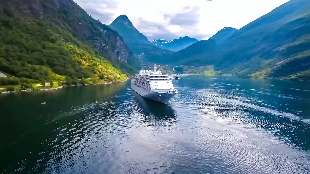
A fjord is a narrow, deep bay (bay) that extends far into the mountainous land, with high and very steep banks; a fjord has a trough-like bed and is often separated from the sea by an underwater threshold.
The height of the fjord shores in some cases reaches 1000-1200 m; fjords have great depths, often exceeding 1000 m (Scandinavia), often branch, and the bed of the “branch” fjord, located above the bed of the main fjord, sometimes has an estuarine ledge or threshold. Fjords are typical for mountainous coasts (Scandinavia, Murmansk, Novaya Zemlya, Franz Josef Land, North Land, Chukchi Peninsula, Pacific coast of Canada, Greenland). Fjords have depressions and rapids along their longitudinal bottom profiles and are always found in groups.
Sometimes two fjords are connected by their peaks, thus forming a fjord-type strait (Matochkin Ball, Magellanic Strait).
A fjord is a narrow bay (inlet) with low, gently sloping banks that juts deep into the land and is usually highly branched.
Unlike a fjord, the banks of a fjord are relatively low, and its depths rarely exceed 100 meters. Along its length, the fjord either narrows or forms a lake-like extension. The bottom in the longitudinal direction, just like in fjords, is an alternation of depressions and rapids. Usually there are islands inside the fjord.
Fjords are most typical for the coast of Denmark, the northern coast of the Gulf of Finland, the western coast of the Gulf of Bothnia, and the Atlantic coast of North America (Maine).
Inlets also include flooded volcanic craters and atoll lagoons.
Strait is a narrow water space between continents, islands or between continents and islands that connects adjacent oceans, seas, or parts thereof.
Strait entrance is the part of the strait that directly borders the adjacent ocean or sea. They are a kind of “water bridge” between two different water bodies. Their most important characteristics include such parameters as depth, width (maximum and minimum), and length.
Some straits are of great importance in terms of navigation through them. Passage through such straits is regulated by international law.
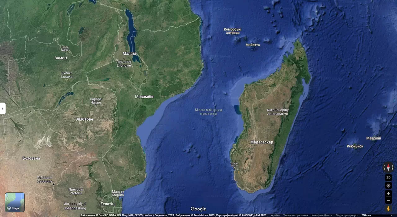
The widest and deepest is the Drake Strait, and the longest is the Mozambique Strait.
The most important straits in the World Ocean are the Straits of Gibraltar, Magellanic, Bering, Bab-i-Mandeb, and Malacca.
Types of straits
There are the following types of straits:
- By location in relation to parts of land (those that separate two islands, a continent and an island, parts of one or two different continents). For example, the Bering Strait in Chukotka separates Asia from North America, and the Strait of Bonifacio separates two islands, Corsica and Sardinia, belonging to France and Italy, respectively.
- By location relative to the ocean basins (lying in the basin of one or connecting the basins of two oceans). Thus, the aforementioned Bering Strait belongs to the second type, connecting the Arctic and Pacific Oceans.
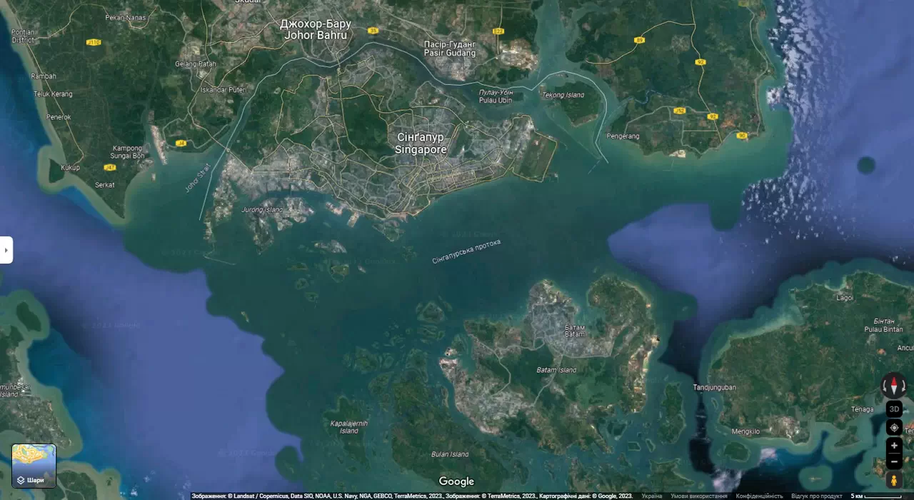
- By status (international legal). There are various options here. First, there are straits in which international navigation is officially allowed, and relevant agreements (conventions) have been adopted in this regard. The most famous example is the Bosporus Strait, which connects the Black Sea with the Sea of Marmara. Secondly, there are straits with international navigation, which connect the territorial sea of any state and the high seas or exclusive economic zone (the so-called right of innocent passage). Third, there are straits that connect parts of the high seas or exclusive economic zone (the right of transit passage). An example is the Singapore Strait.
In addition to these parameters, the speed of the current in the straits and its direction are usually taken into account.
The largest straits in the world
Champion straits: The champion in terms of length is the Mozambique Strait, located between the island of Madagascar and Africa: approximately 1760 kilometers. The current here is steady, from north to south, with a speed of about 1.1 to 1.5 knots (1.852 to 2.778 kilometers per hour). The strait has a maximum depth of 3.292 kilometers and a minimum width of 42 meters.
The Drake Passage between South America and Antarctica is the champion in terms of width. Its maximum width is 950 kilometers (minimum – 820 kilometers). It is also the deepest on Earth – 5,840 kilometers. This strait is extremely difficult to navigate, and hundreds of ships have been lost here. Before the opening of the Panama Canal, many sailors attempted to go around Cape Horn, which crowns Tierra del Fuego from the south, and these attempts often ended tragically. The most powerful cold current of the West Winds passes through Drake Passage. Powerful storms often rage here, with wind speeds of up to 126 kilometers per hour. In addition, it often contains icebergs caught in the current from west to east. All these factors make sailing in the Drake Passage extremely dangerous. It is possible only for vessels of a solid displacement and in relatively calm weather conditions.